Get in touch


25 June 2026
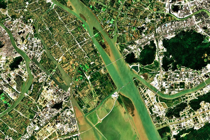
Planning urban resilience with Google Earth data
25 June 2026, 14:00 – 15:30
Online
Join us and find out how Google Earth’s 2026 updates are transforming climate action and urban planning.
Climate Alliance has been collaborating with Google since 2023 to support the provision of tailored data to help cities and towns drive their climate action planning. By bridging Google’s planetary-scale data with Climate Alliance’s expertise in municipal policy, we are empowering local leaders to design more resilient, climate-friendly communities.
Join us and find out more about the type of data Google is making available to local governments across Europe and what you can do with it.
In this session, we’ll explore how Google Earth’s 2026 updates are transforming climate action and urban planning. We will dive into the newest features designed to accelerate professional workflows and show you how these specialised tools can help you move from strategy to execution faster than ever. Together with Goolge, we’ll look into aspects such as new layers, improved intelligence, enhanced integration and the power of agenic AI. Learn about:
- Recently added layers such as flood history, cycling and traffic signal levels.
- Global 20- and 40-meter elevation contours for instant topographic site planning.
- Enhanced support for KML, KMZ, SHP and GeoJSON to integrate your private data with Google’s digital twin.
- Using “Ask Google Earth” to turn natural language into geospatial insights in seconds (coming soon).
- Other resilience planning tools.
Have questions? Get in touch!

Miguel Morcillo
T. +49 69 717139-17
E. m.morcillo@climatealliance.org